Foggy Wednesday, then stormy Thursday with the possibility for severe weather


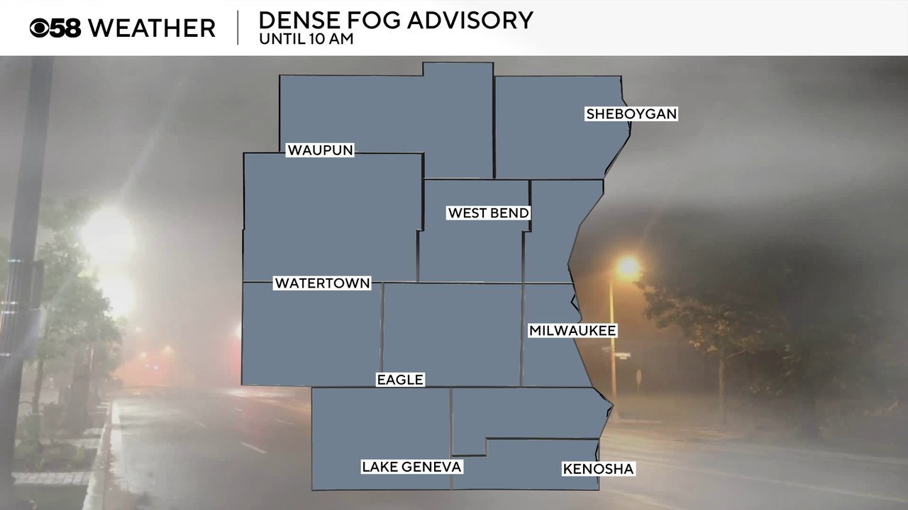
Wednesday morning is all about the fog. Parts of southeast Wisconsin, especially near Lake Michigan, saw fog off and on through most of Tuesday after the brief morning showers. That fog started to roll its way westward Tuesday evening and become dense overnight. A dense fog advisory was issued for all of southeast Wisconsin until 10 AM Wednesday.
After a foggy Wednesday morning commute the fog should dissipate by mid to late morning. Expect a partly to mostly cloudy sky the rest of the day with another chance for more patchy fog Wednesday night into Thursday morning.
Here is a look at visibility that will update with time:

Thursday morning will be dry and so will most of the early afternoon but by mid to late afternoon Thursday we will have the chance for storms. The best window for some thunderstorms that could be strong to severe will be from 4-8 PM.

Any storms that form could be severe. A Level 3 Enhanced Risk has been expanded to include most of Wisconsin including all of us here in southeast Wisconsin. The overall severe ingredients look a little better in central and northern Wisconsin and we could battle some dry air here in the southern part of the state, but we still have a good possibility for strong to severe storms.

There is a very present tornado threat Thursday, especially if we see isolated supercells, but very large hail and damaging wind are the biggest threats. The flooding risk is not very high as we haven't had much rain lately and the storms should be fairly fast moving.

Download the CBS 58 Weather app to get ready to track the storms with the interactive radar.