Light snow moving through Friday morning with another round on Sunday
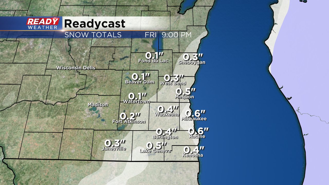
Light snow is currently rolling through southeast Wisconsin. This will be a relatively quick snow and only last in any given community for about two hours, but may linger a bit in some southeast Counties.
Here's a current radar image with the snow:
Most of this snow is associated with a front and low pressure in Canada but there's also snow creeping in from the south with the big storm bringing snow to areas from Oklahoma to South Carolina. That snow could add a bit more moisture causing snow totals in some southeast communities like Racine and Kenosha to be a bit higher close to 1". The rest of southeast Wisconsin should expect around a half inch or less of snow.
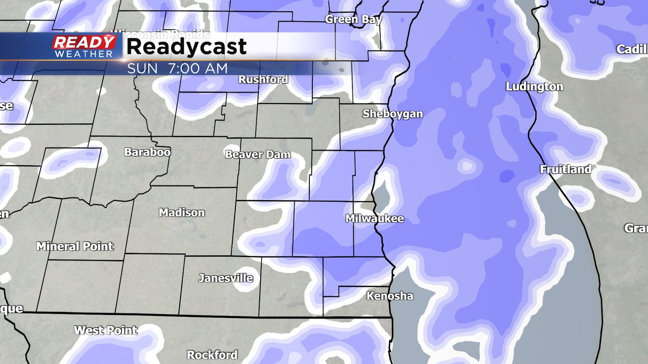
Some of the snow may linger in southeast counties through the early afternoon but roads should be in pretty good shape by the evening commute with a bit of sunshine possible in the late afternoon. Saturday will be dry all day then our next round of snow starts Saturday night into Sunday morning. Snow looks to linger through at least early Sunday afternoon and maybe through early evening.
The accumulating snow for Sunday looks a bit heavier but still not much with up to 2" of new snow. That will push our totals for Friday and Sunday to 1-3" for most of southeast Wisconsin.
Download the CBS 58 Ready Weather app to track the two snow chances.


