Next winter storm on deck will bring rain, mix
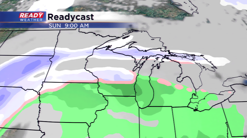
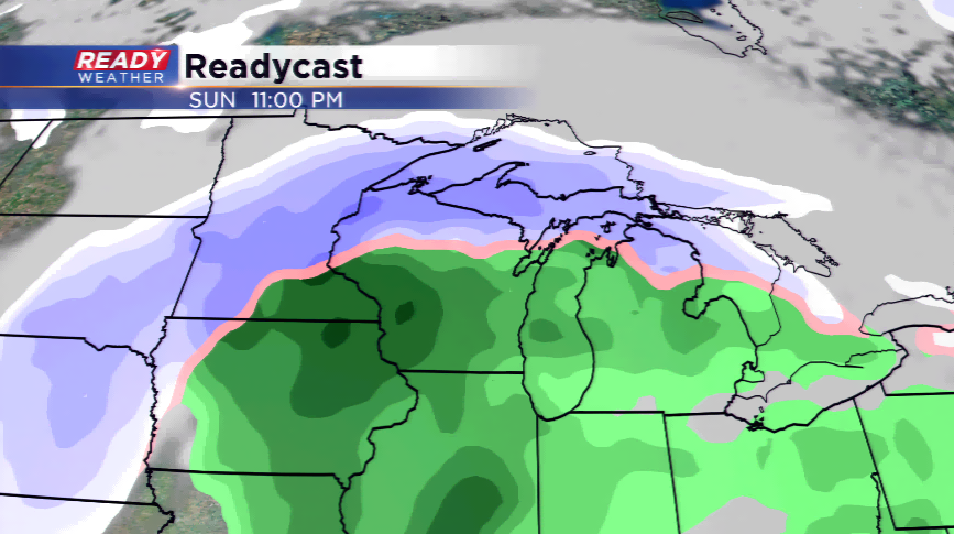
The jet stream will reposition itself as not only will warm temperatures start to filter in, but the storm tracks moves into Wisconsin again this weekend. This will bring our next major weather maker into the area by late Saturday night into Tuesday.
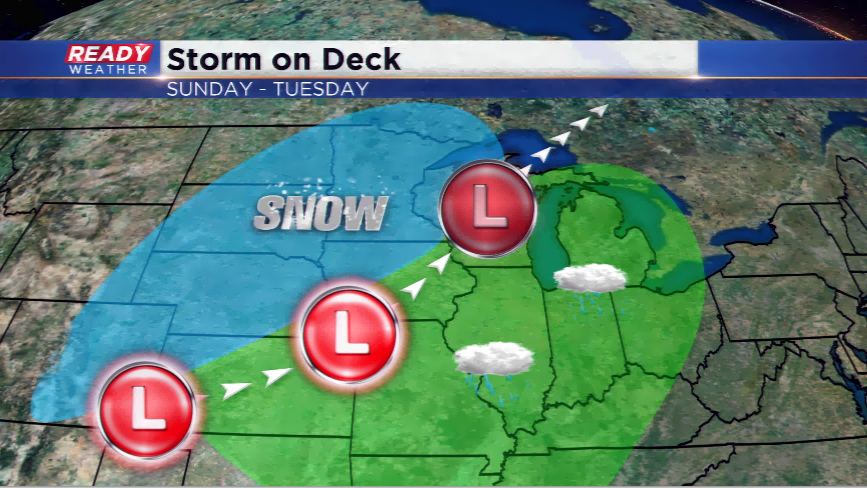
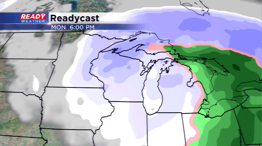
If you’re a snow lover, this storm might not be for you. The track of the low will take a beeline to the heart of the state – this means we will likely be in the warm sector of the storm in southeastern Wisconsin. Let’s lay out all out there:
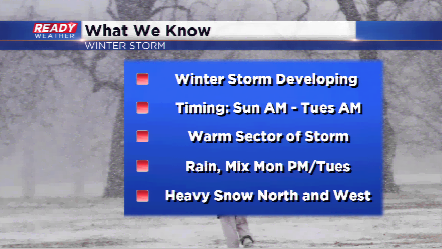
This is what we know right now:
*We know there’s a major winter storm likely going to develop and hit the Midwest. (Panhandle hook storm)
*The way the models are trending, we will see mainly rain from this event unless the low moves more south.
*By Monday night and Tuesday, colder air will funnel in behind the storm and some light snow or a mix will be possible.
*The heaviest snow will fall to our west and our north.
*Temperatures will stay mild in the 40s during the storm, then dropping back down into the 20s by Tuesday and Wednesday.
There remain uncertainties since we are still several days away from the storm; remember that things will change and we will keep you up to date with any new information or changes in the forecast. Download the free CBS58 Ready Weather App to keep you ready and ahead of this storm.