


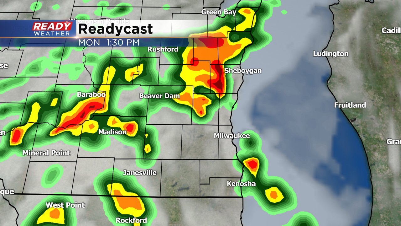
After a nice Fathers Day it's back to the rain and storms. A few spotty showers rolled through Monday morning with more scattered showers and storms possible off and on throughout the day. A few rounds of storms may be on the stronger side. The best chance for a severe storm looks to be in the early afternoon.
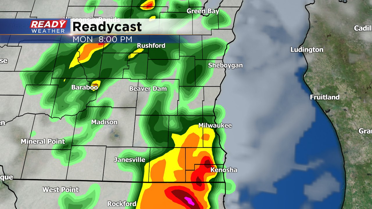
Another round of heavy rain could move through just after dinner. Even though we will see scattered rain, there will be dry periods throughout the day.
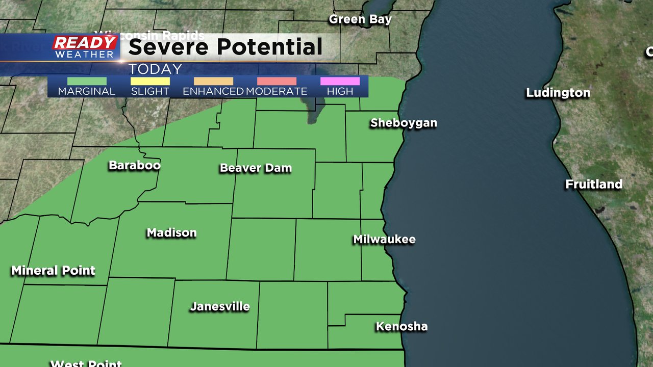
All of southeast Wisconsin is in the marginal risk for severe weather which is the lowest level. Widespread severe weather is not expected but an isolated severe storm is possible along with strong storms. If severe storms do form small hail and some strong wind will be the main threats.
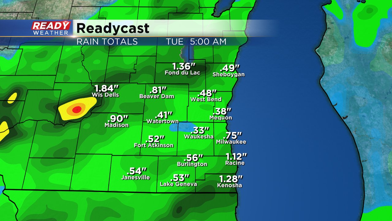
A little heavy rain is possible, but we are well below-average on rainfall for June so flooding is not a concern. Most will pick up between a half to full inch of rain by Tuesday morning with a few spots seeing as much as 1.50".
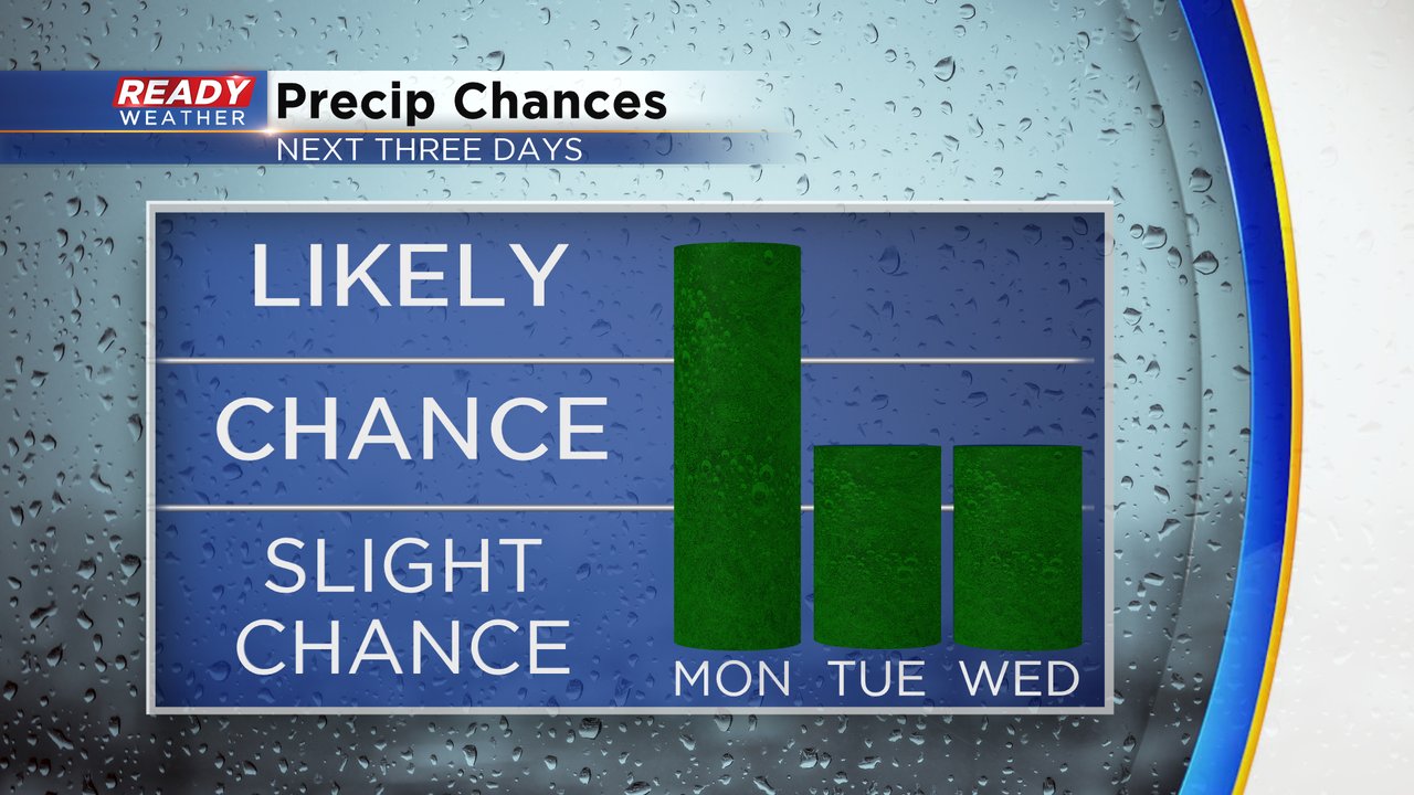
Rain is very likely Monday but there are also chances Tuesday and Wednesday mainly during the afternoon and early evening with some pop up showers and storms.
Download the CBS 58 Ready Weather app to track the rain the next couple days.