
Scattered showers linger Tuesday, then some mild air returns for the end of the week


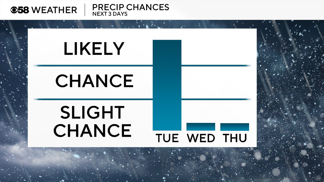
It's a bit of a wet start to your Tuesday with scattered rain, and in some areas snow, showers rolling through. Many communities have seen a tenth to a quarter inch of rain. The rain and mix showers will persist through the morning hours and even into the afternoon in some areas. By dinnertime everyone should be dry.
Here's a radar image that will update with time:

After the scattered showers on Tuesday the rest of the week looks relatively dry. A few sprinkles or flurries might be possible on Wednesday and Thursday but any rain for the end of the week has trended dry.
With the clouds and showers on Tuesday, temperatures will stay very steady right around 40. Wednesday will be a bit warmer in the mid 50s then we warm up nicely with highs hovering around 50 for the end of the week into the beginning of Thanksgiving week.

Download the CBS 58 Weather app to track the showers with the interactive radar and see if the mild air holds on through Thanksgiving.