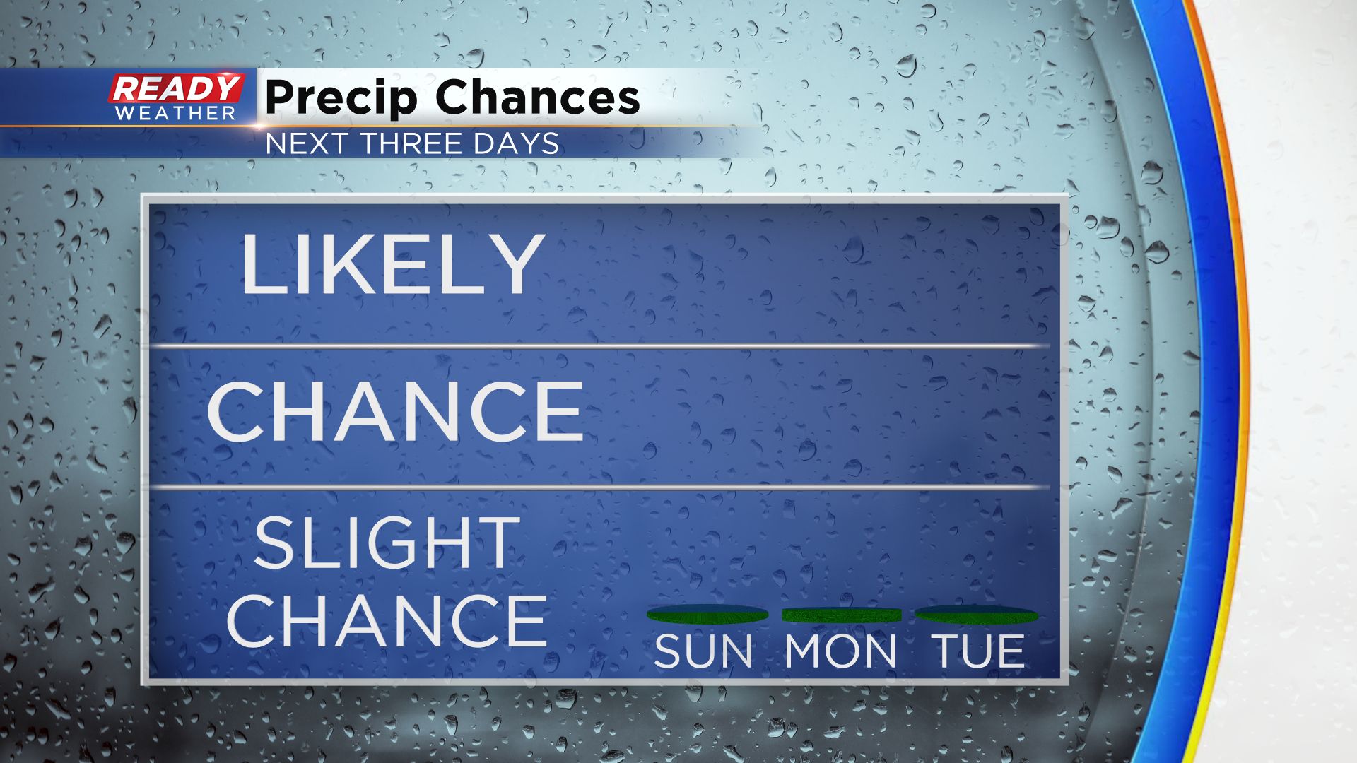
Showers & drizzle end late tonight with sunshine returning on Sunday


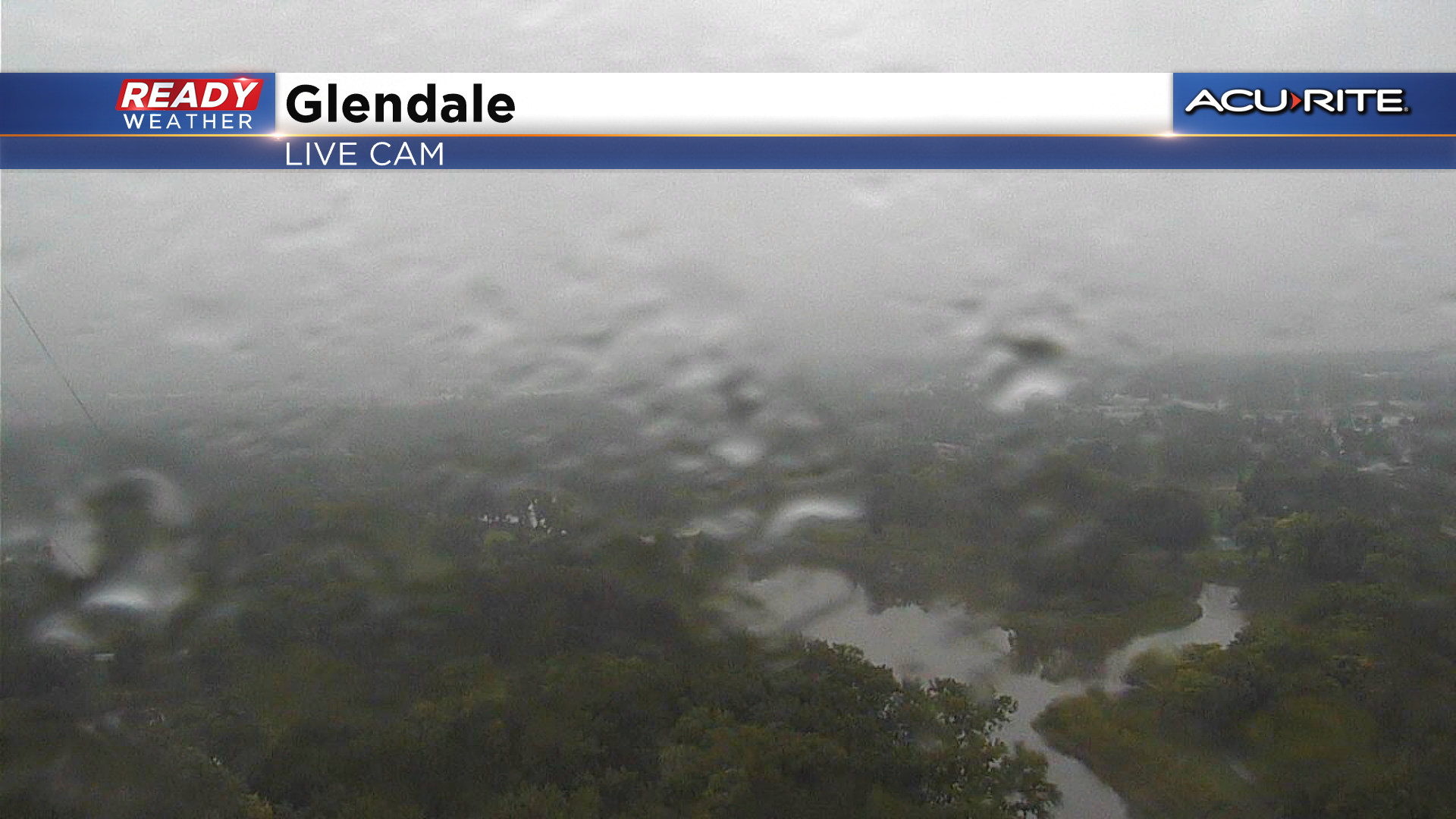
It's been another soggy and gloomy day across southeast Wisconsin as patchy showers and drizzle work through the area ahead of a cold front and upper level low pressure system.
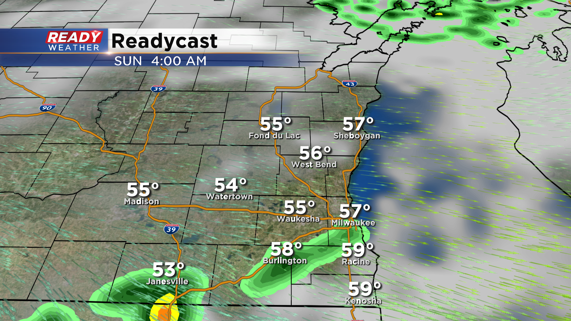
The front has just moved through Madison and will gradually track across southeast Wisconsin this evening. The upper level low pressure system passes through the area after 2am, and may touch off a couple more isolated, light showers, but once it moves through we will be DONE with the rain for several days!
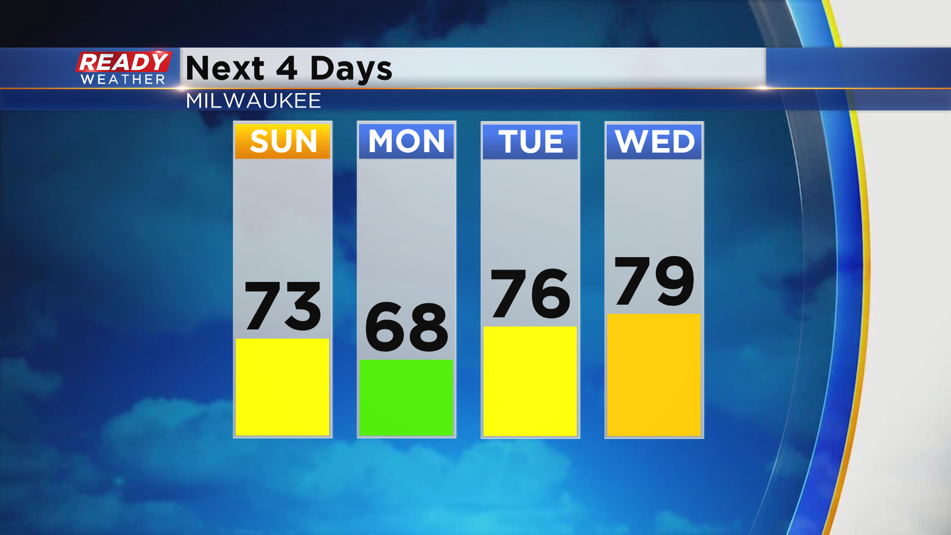
There will likely be some lingering clouds to start the day on Sunday, but more sunshine will be around during the afternoon as high pressure settles into the area. High pressure will remain in control through the first half of the week with dry weather expected through Wednesday.
Temps will rise back into the low 70s Sunday afternoon, but an easterly breezy will cool lakeside areas into the upper 60s for highs on Monday. A breezy southerly wind will boost temps back into the mid to upper 70s Tuesday and Wednesday ahead of the next cold front.
There's still a bit of uncertainty as to when the front will move through (late Wednesday or Thursday), but when it does it could touch off a few showers. Cooler air looks to move in behind the front for the end of the week into next weekend.
Download the CBS 58 Ready Weather App to see how cool temps may fall behind the mid week cold front.