


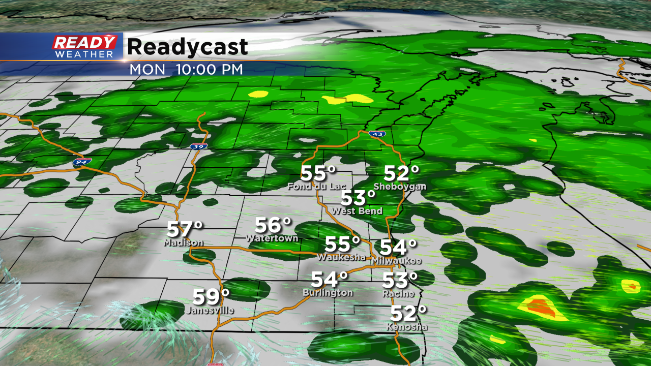
Thankfully the severe weather stayed to our south this afternoon and evening. Most of the heavy rainfall has pushed through; however, additional scattered showers could redevelop this evening.
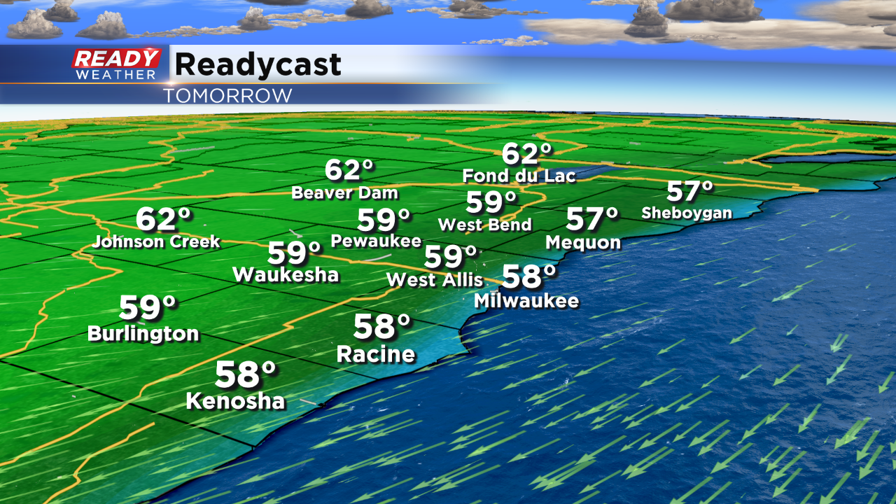
The rain should be done overnight as we have a quiet start to Tuesday. Northeast winds will keep temperatures cool on Tuesday. Our next chance for rain will arrive late Tuesday night into Wednesday morning.
_____________________________________________________________________________________________________________
After a mainly dry and very nice holiday weekend our chance for showers and storms increases for Memorial Day. If you have ceremonies or parades to attend in the morning a dry sky is expected, but that changes as we head into the afternoon. If you are going to the Memorial Day Parade in Milwaukee that kicks off at 2 p.m. bring the jacket and the umbrella.
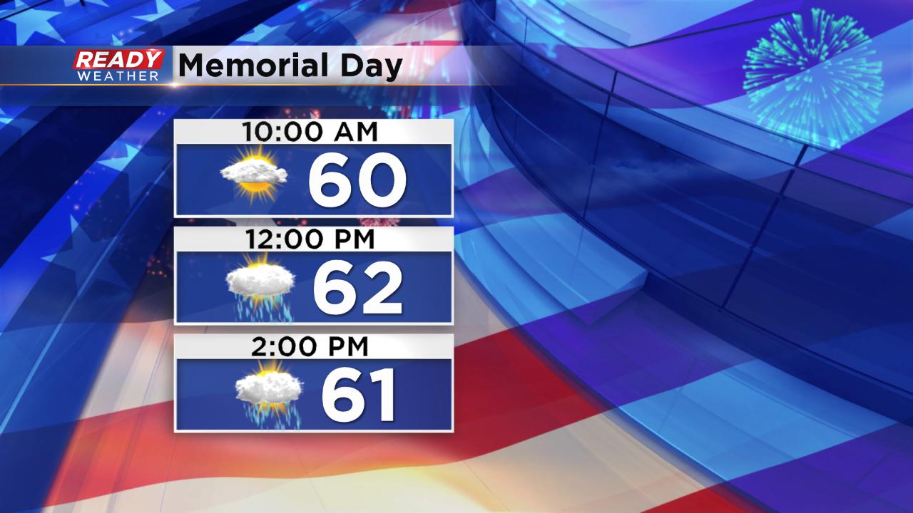
Scattered storms will start moving from west to east across our area around noon with scattered activity continuing through around midnight.
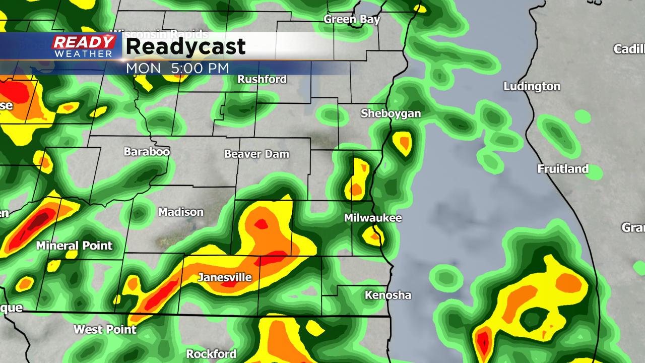
The location of a warm front will be the focus of severe weather. The majority of weather models keep that front in northern Illinois which keeps our temperatures in the 60s with a lake breeze today. Northern Illinois is under the "enhanced" risk for severe weather with a slight risk in place for a sliver of Walworth and Kenosha counties.
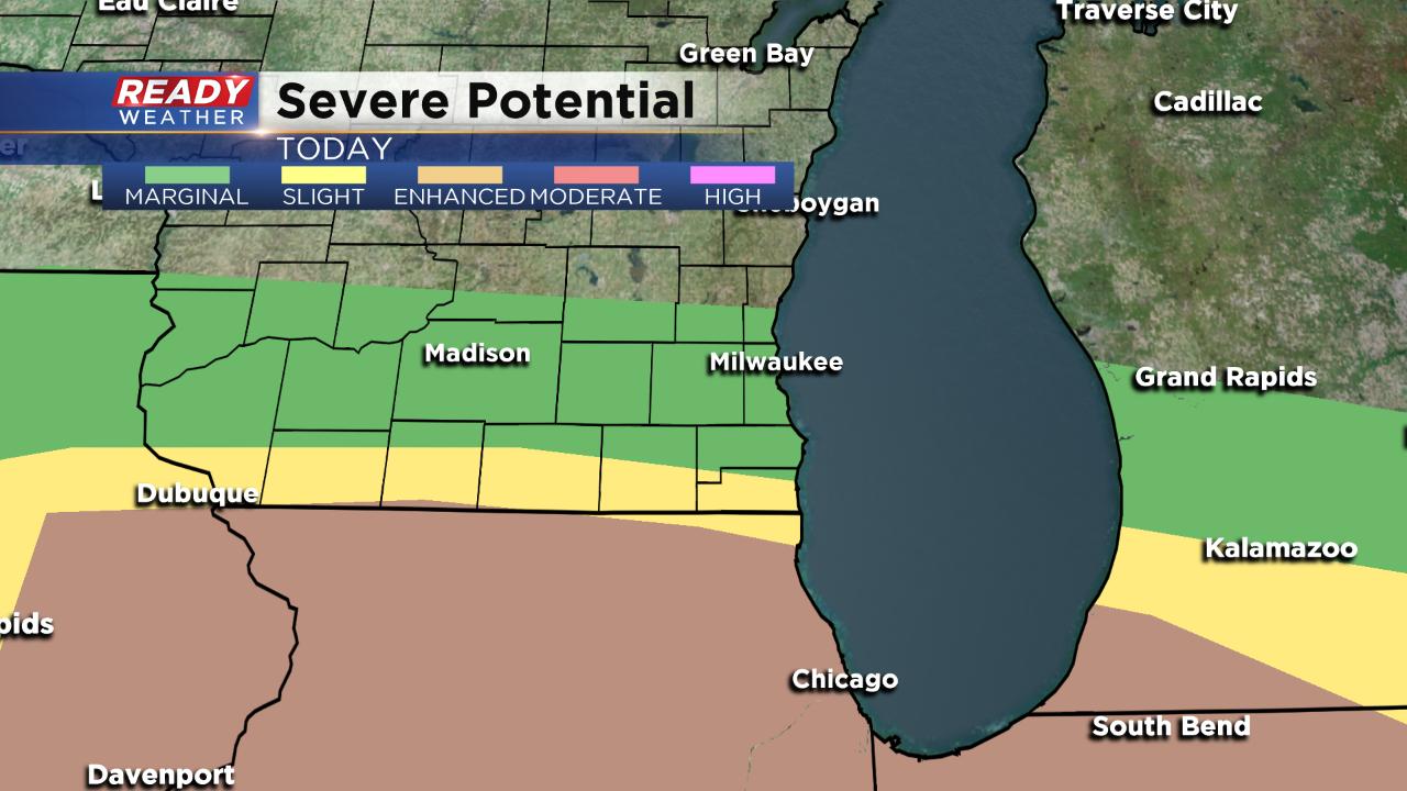
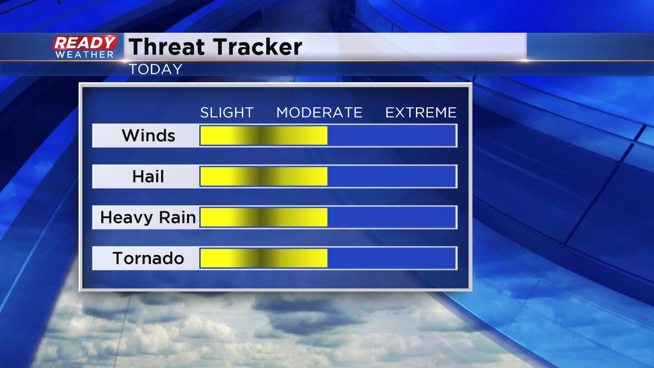
If we do see severe weather all types will be possible including hail, damaging wind, heavy rain and even a few tornadoes, especially near that warm front.
The CBS 58 Ready Weather app will be your friend if you have outdoor activities or plan on doing some evening grilling. You can track storms that pop up and the app will also give you an alert if a watch or warning is issued.