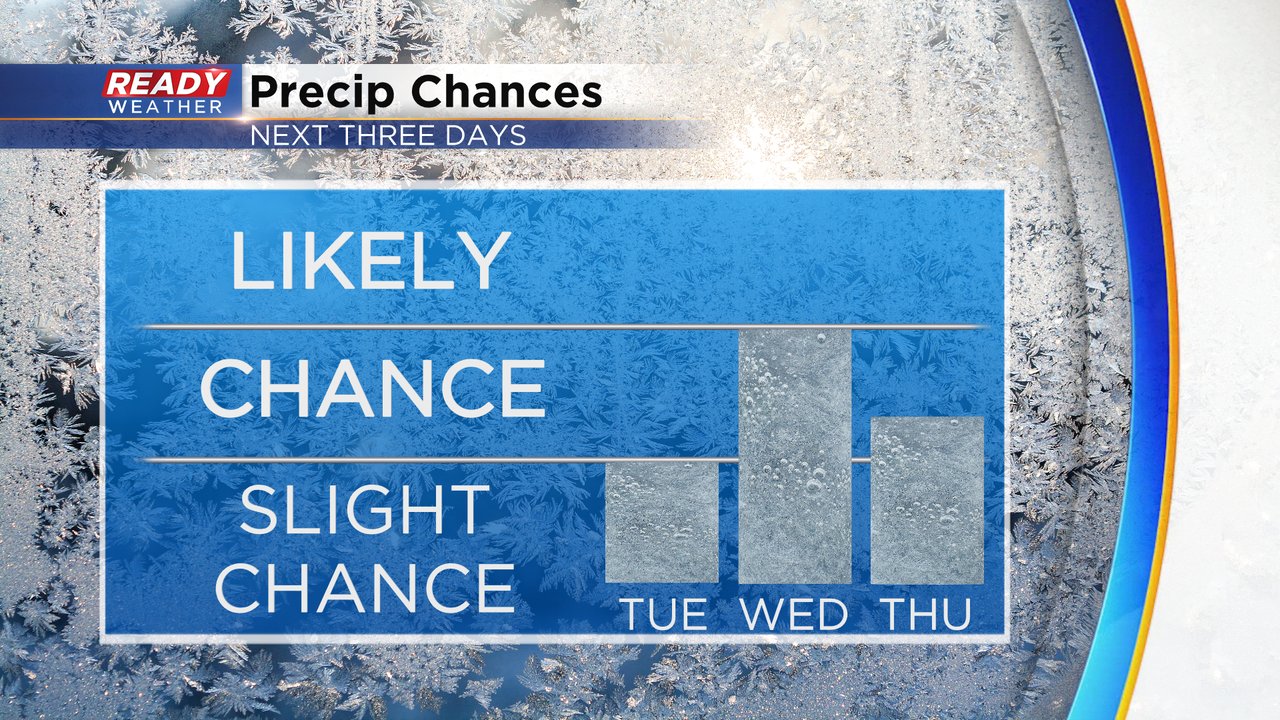
The mild air from the weekend and the start of the week will take a bit of a backseat the rest of the week. Highs Tuesday stay above average in the upper 30s then below average the rest of the week in the lower half of the 30s. A few clipper snow systems will move our way bringing two rounds of snow through Thursday. Most of Tuesday looks dry until Tuesday evening and Tuesday night through early Wednesday morning. The rest of Wednesday is dry through Thursday morning then Thursday afternoon has seen an increasing chance for accumulating snow.
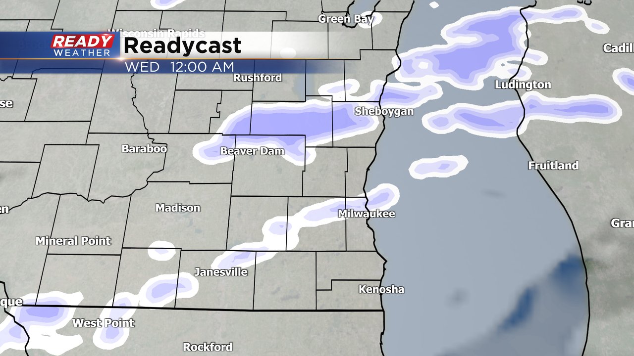
The snowfall Tuesday evening into early Wednesday morning won't be a big area of widespread snow but more so snow showers. Some might escape with no snow or just a few flurries while others could see some quick light accumulation. Snow could start as early as 6/7 PM Tuesday with better chances towards midnight then snow ending before the Wednesday morning commute.
Even if snow isn't actively falling during the Wednesday morning commute, some slick and slippery roads are expected for the Wednesday morning commute. Snow accumulations of a dusting to an inch are possible for most of southeast Wisconsin although most probably fall short of a full inch.
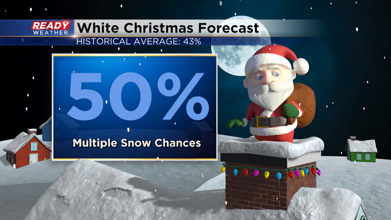
Thursday might be our best chance for over an inch of snow before Christmas. A few flakes and flurries are possible for the weekend into the beginning of next week but nothing that looks organized yet. The snow we get Tuesday through Thursday could be enough to give us a White Christmas if temperatures stayed cold, but a warm up right before Christmas could melt any snow that does fall this week. Right now I'm giving us a 50% chance for a White Christmas.
Download the CBS 58 Ready Weather app to see the 10-day forecast and track any changes to temps and snow chances as we approach Christmas.


