Some temporary relief from the heat and humidity around the corner

-
2:03

CBS 58’s Hometown Athlete: Mark Murphy’s lasting legacy
-
0:37

American journalist abducted in Iraq is from Wisconsin
-
3:06

In wake of teen takeovers, community leaders focusing on positive...
-
2:17

’It just needs to stop’: Milwaukee continues to crack down...
-
0:39

4Seasons Skate Park closes its doors after 26 years
-
2:21

Family seeks closure as Kenosha PD makes arrest in decades-old...
-
3:15

First witnesses called in trial of man accused of fatally shooting...
-
3:28

Agreements, addiction and lawsuits: As Gov. Evers decides whether...
-
1:39

Seats dedicated to fallen police officers at American Family...
-
4:34

UWM planetarium director discusses NASA’s Artemis 2 mission...
-
1:18

Man arrested in quintuple shooting that left 1 dead on Milwaukee’s...
-
0:50

Buckle Up Phone Down: WisDOT, West Bend team up to promote safe...

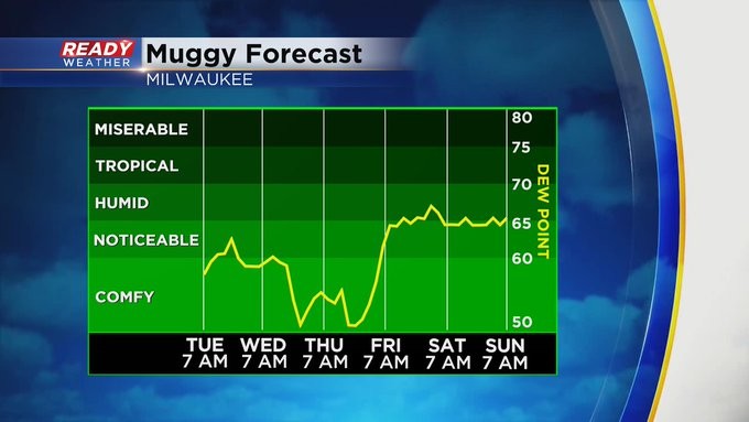
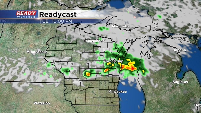
MILWAUKEE (CBS 58)--After reaching 90 degrees on Monday (sixth 90 degree day for the season), look for a little relief on Tuesday with highs in the 80s. You'll notice a slight decrease in humidity. But there's one more front we're waiting on, and it'll push through later Tuesday evening. This system will give us the chance for showers and storms into the evening. But once it passes, we'll be in the clear with both temps and humidity. We're talking about highs in the 70s for both Wednesday and Thursday.
It won't last long though. And why would it? It's mid-July after all. Some heat and humidity will return by the end of the week with a chance for showers and thunder by Friday evening, lasting into Saturday. Sunday should be fairly quiet. Highs then will be back in the 80s. Even warmer still into next week.