Warm weekend with a soaking rain possible to start next week


Southeast Wisconsin is start to get in desperate need of some rain. With the new drought monitor that was released Thursday, most of southeast Wisconsin is now officially in a moderate drought. Although a few showers with good wind gusts did pop Thursday afternoon and a few light showers rolled in before 4 AM Friday morning, the rain hardly accumulated. The weekend is expected to stay very warm with highs continuing to trend warmer on Saturday in the upper 70s with 80* not out of the question. Sunday will see highs in the upper 60s to around 70.

The start to the weekend Friday and Saturday is predominantly dry but there is an isolated chance for a storm late Saturday evening. If we do see a storm it could be on the stronger side thanks to all the heat on Saturday giving more fuel for storms.

Sunday has a better chance to see some rain. Scattered showers aren't out of the question for Sunday morning and afternoon but the best chance for rain is Sunday evening through most of Monday. The rain could last through most of the day Monday with scattered showers possible through midnight Monday night into Tuesday morning.
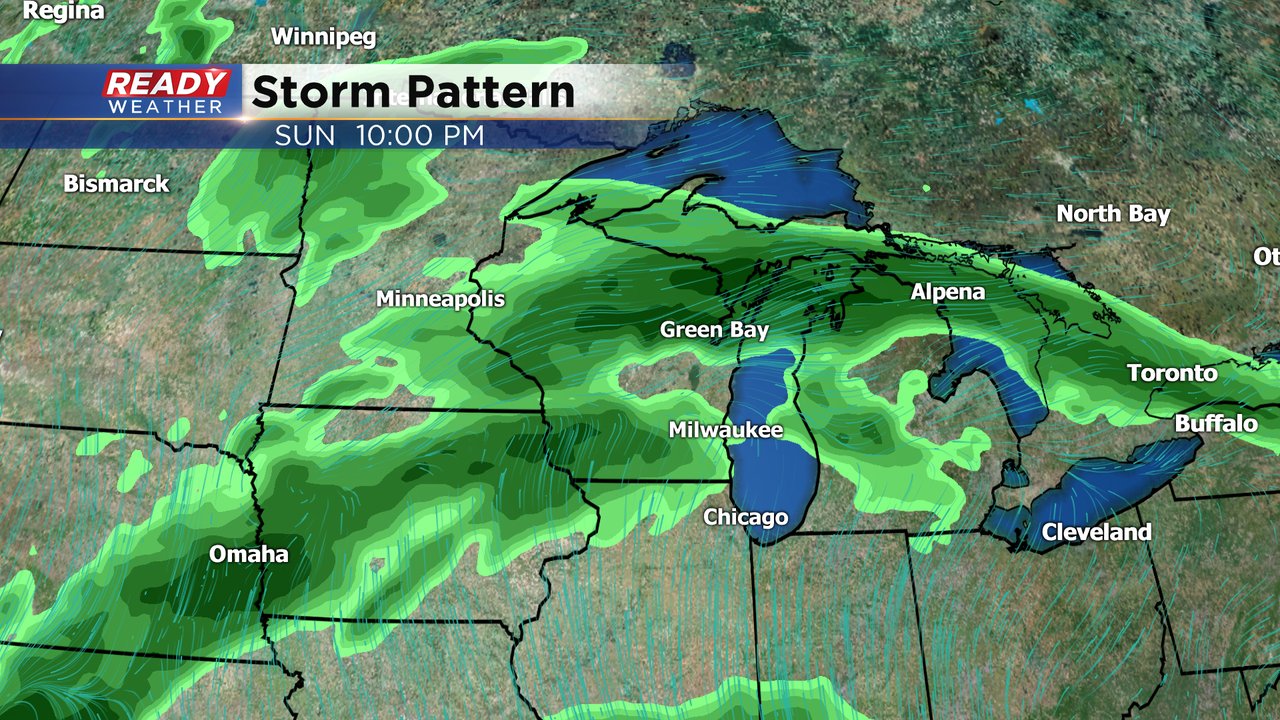
The rain Sunday evening into Monday is the best chance to see a good soaking rain. If we get a good 24 hour rain we could be looking at a nice 1" rainfall. Although that won't be a complete drought busting rain it will cut into our rain deficit this spring.

Download the CBs 58 Ready Weather app to track the forecast going into our next chance for rain.