Warmer with melting snow
Some impressive snow numbers the last 10 days or so with NINE straight days with snowfall. Here’s what the last night days looked like in Milwaukee for snowfall:
3rd) 1.2”
4th) 3.1”
5th) 1.2”
6th) Trace
7th) 0.8”
8th) 0.6”
9th) 4.8”
10th) 0.2”
11th) 4.3”
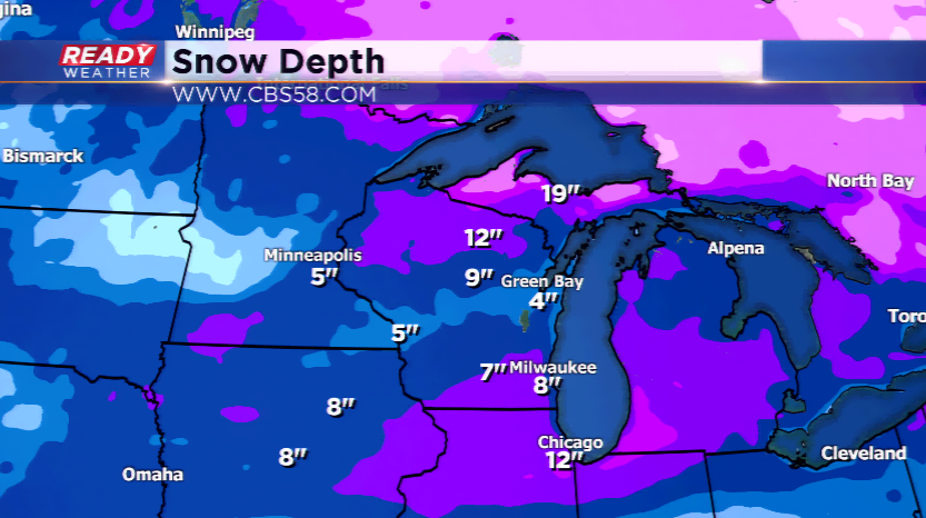
This has already brought the average numbers above the norm for the month of February, and the snow depth to over 8" in Milwaukee.
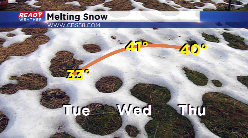
Today will snap that consecutive streak with high pressure. In fact, the whole weather pattern switches with a much warmer weather pattern setting up. The warmest high so far this month is 37 degrees; we will go above this high on both Wednesday and Thursday. Expect some melting this week with those warmer temperatures.
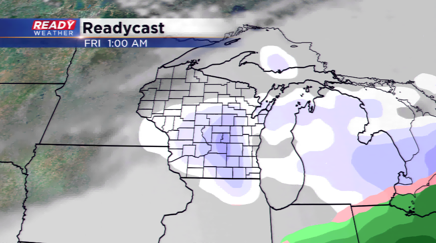
However, there is going to be a brief cool down by the end of the week. Highs drop back down into the 20s by Friday and Saturday. Dropping those highs will bring in some precipitation; scattered rain showers are possibly Thursday, and snow could pop up Thursday night and Friday.