Wet snow will reduce visibility during the Monday morning commute


After some lake clouds this morning, skies cleared out nicely this afternoon! However the easterly wind has kept temperatures in check with most of us in the upper 30s to low 40s. Clouds will thicken up through the evening ahead of an area of wet snow that looks to move in around/after midnight.
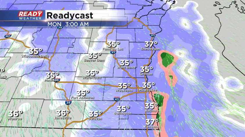
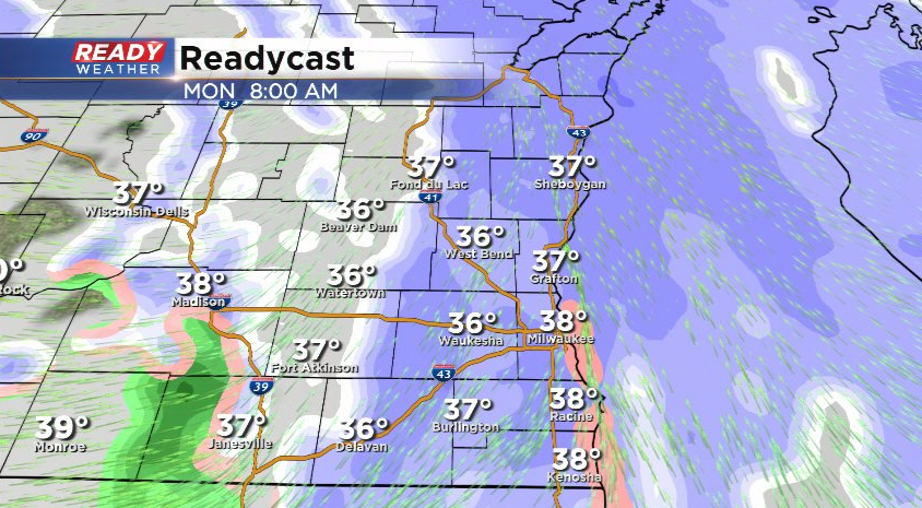
The most moderate snow will occur before sunrise, but wet snow will continue to reduce visibility through the Monday morning commute while roads are primarily wet.
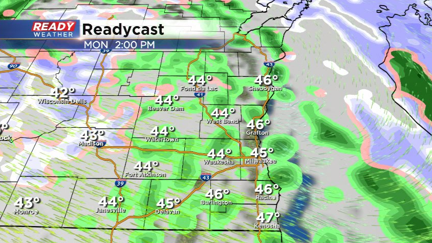
Temps will warm enough by midday to change the snow to scattered rain showers during the afternoon. We can't rule out a bit of rain/snow mix in spots, but no impacts are expected at that point.
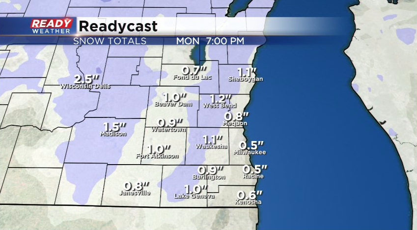
Rain/snow showers become isolated by Monday evening before tapering off Monday night. Most areas will likely wake up to a coating of wet snow on the grass, but roads will primarily be wet for the Monday morning commute. A few spots could pick up an inch or so of wet snow on the grass before it changes over to rain.
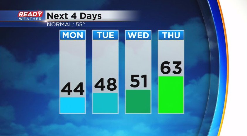
If the snow doesn't melt during the afternoon, it'll be gone by Tuesday as temps warm into the upper 40s to around 50. By Thursday, everyone should be in the low 60s.
Download the CBS 58 Ready Weather App to track the incoming wet snow and see what day we may make a run at 70 degrees this week.