Hot and humid Wednesday with rounds of storms likely Thursday


The forecast for Wednesday has trended dry! We are watching a cluster of storms from Tuesday night that blew up over central Iowa and has now moved into central and northern Illinois. Some of these showers and storms could get close to the WI/IL border so we cannot completely rule out a shower or storm in southern counties near the border Wednesday morning, but everyone else should stay all dry all day.
Otherwise, Wednesday is going to be another hot day with highs in the upper 80s to around 90. On this last day of July we could hit 90 degrees for the first time this month! Humidity levels will stay very sticky with dew points well into the 70s making it feel tropical like the low to middle 90s.

While Wednesday has trended drier, the same cannot be said of Thursday. The rain and storm chance has gone up with two rounds of storms looking likely. The first arrives in the early morning hours with some heavy rain and embedded thunderstorms possible that could linger through the early morning commute. Then we see good dry time from mid-morning to mid-afternoon before a second round of storms late Thursday afternoon into evening.
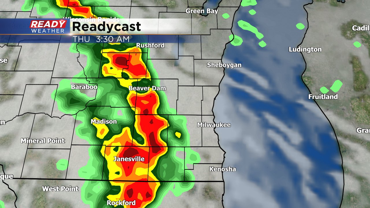
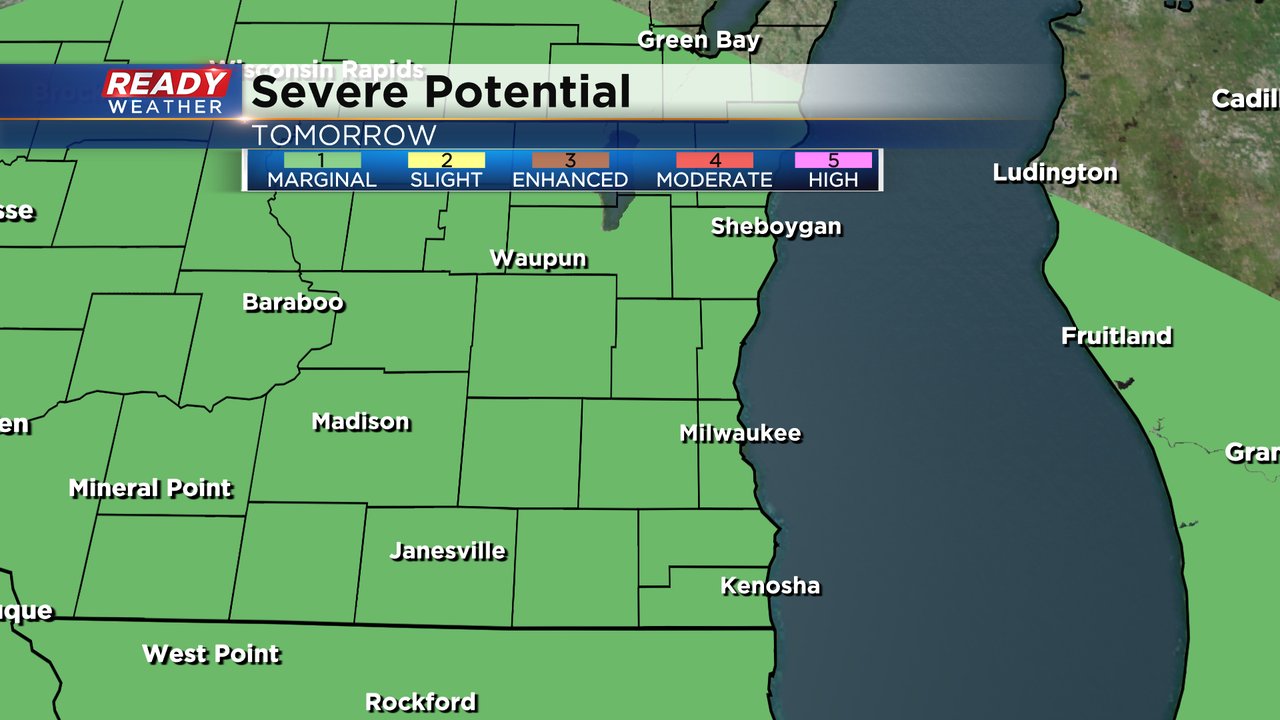
Storms that form during either round on Thursday could be strong to borderline severe with gusty wind the main threat with any storms that develop. A Level 1 Marginal Risk is in place Thursday for all of southeast Wisconsin.
Download the CBS 58 Ready Weather app to track the heat for Wednesday and storms for Thursday.