Late Afternoon Update: Severe hail continues to fall in relentless storms


Updated: Wednesday, April 19th 5:15pm:
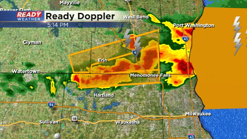
New Severe Thunderstorm Warning issued for far northern Waukesha county until 5:30pm. Hail between quarter to ping pong ball sized has been falling. Storms have been back building as well so don't be surprised if storms continue to build as they sag to the SE.
---------------------------------------------
Updated: Wednesday, April 19th 4:50pm:
A Severe Thunderstorm Warning has been issued for Washington county until 5:15pm for quarter sized hail.
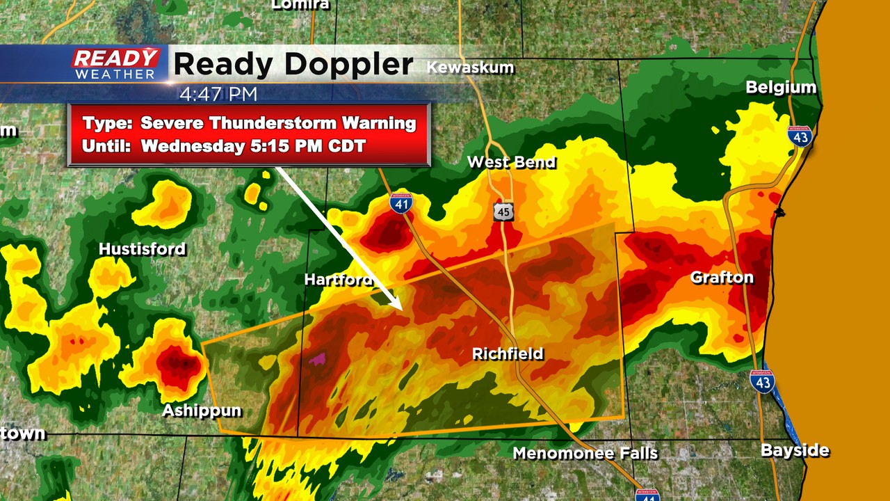
The hail core is near Erin and is tracking east.
------------------------------------------
Updated: Wednesday, April 19th 4:12pm:
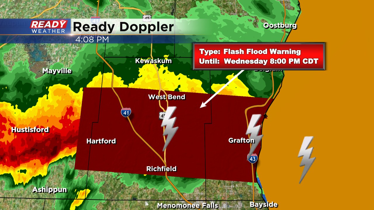
A Flash Flood Warning has been issued for Ozaukee, Washington, and a sliver of Dodge counties through 8pm. Between 1.5-2.5" of rain has fallen in these areas with an additional 1-3" possible.
-------------------------------------------
Updated: Wednesday, April 19th 3:40pm:
A new Severe Thunderstorm Warning has been issued until 4:15pm for Washington and Ozaukee counties. Golf ball sized hail has been reported with this cell in Jackson. The hail core is tracking towards Cedarburg and Grafton.
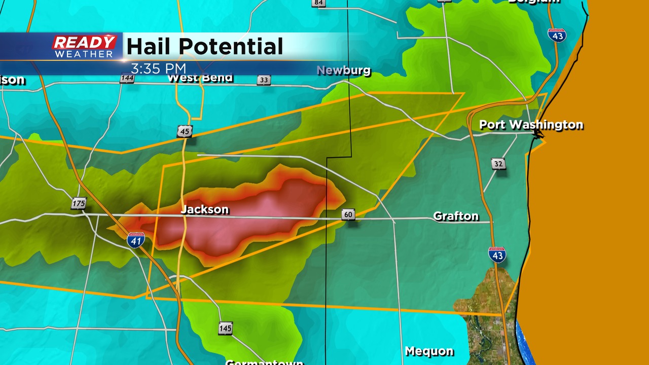
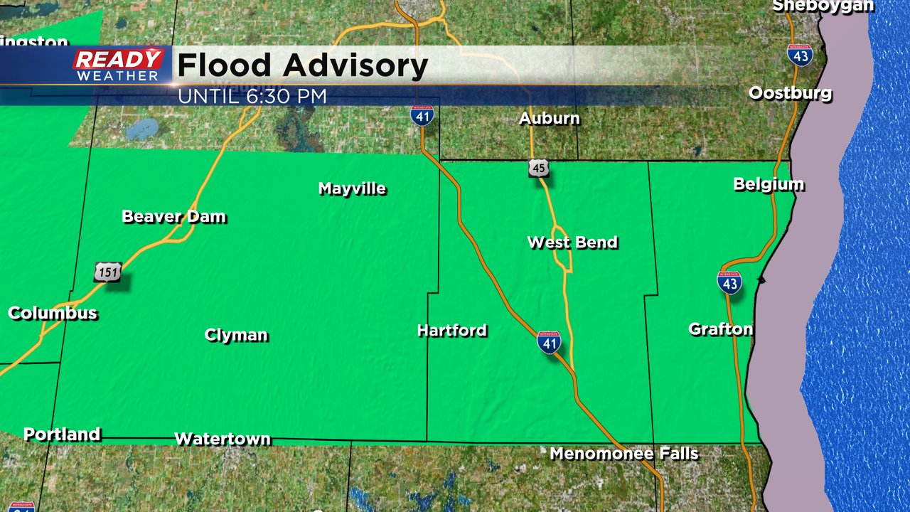
Additionally, an Areal Flood Advisory has been issued for Dodge, Ozaukee, and Washington counties until 6:30pm. 1-2" of rain has already fallen with another 1-2" possible as this line of storms continues to train over the same areas. Watch out for localized flooding!
-------------------------------------------------------------
Updated: Wednesday, April 19th 3:15pm:
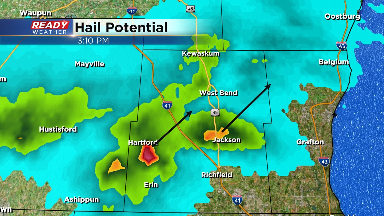
A new Severe Thunderstorm Warning has been issued for Washington and Ozaukee counties until 3:45pm.
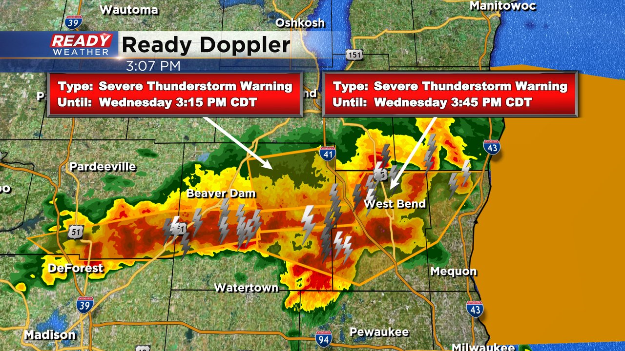
The hail cores are tracking NE towards West Bend and Newburg.
------------------------------------
Updated: Wednesday, April 19th 2:45pm:
The entire northern half of Dodge county is under a Severe Thunderstorm Warning for large hail. Various warnings run until 3:15-3:30pm.
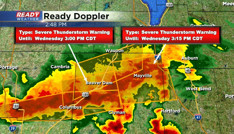
These storms are also dumping a ton of rain and training over the same areas, so watch out for flooding as well.
-------------------------------------------------------------
Updated: Wednesday, April 19th 2:25pm:
Two new Severe Thunderstorm Warnings have been issued for Dodge and Fond du lac counties, and another one encompassing parts of Jefferson, Waukesha, and far SE Dodge counties.
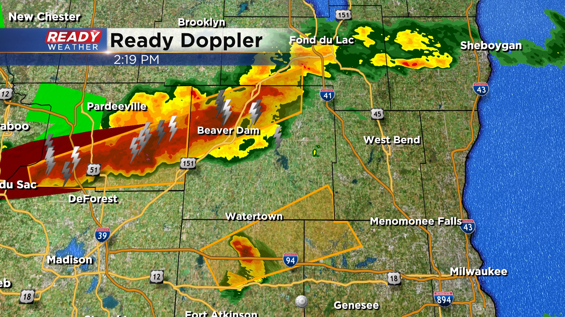
In addition to the large hail producing storm that's been tracking towards Dodge county, we've gotten reports of ping pong ball sized hail in Lake Ripley in Jefferson county. Storms are pushing NE at 45 mph.
--------------------------------------------------------
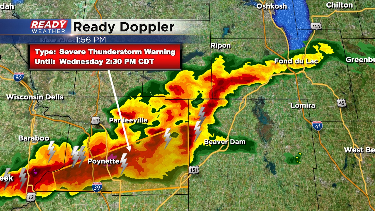
Updated: Wednesday, April 19th 2:00pm:
A Severe Thunderstorm Warning has been issued for Jefferson county until 2:15pm. Quarter to half dollar sized hail was reported in Stoughton with this cell.
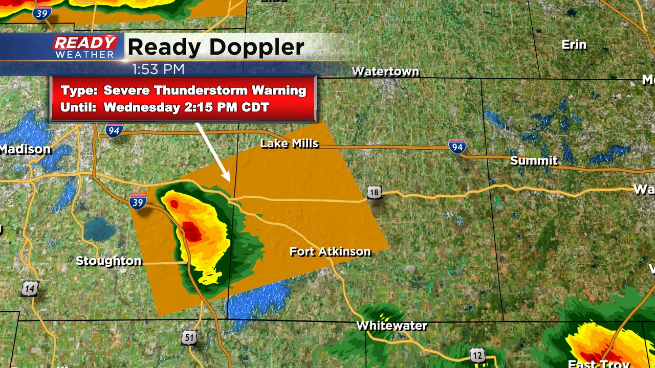
To the north, a severe storm in Columbia county has been dropping ping pong to golf ball sized hail. This hail core is heading for Rio, but folks in Dodge county should move their car to shelter before this pushes east!
---------------------------------------------------------------
Updated: Wednesday, April 19th 1:00pm:
Clusters of sub-severe thunderstorms continue to push across southeast Wisconsin. The cell moving through northern Ozaukee county has a history of producing dime sized hail.
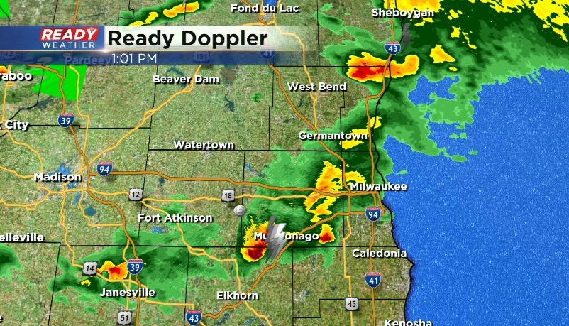
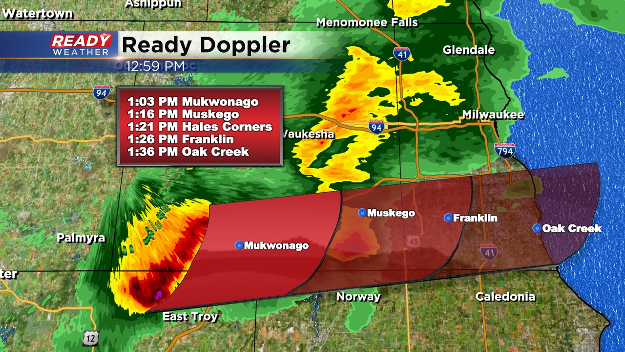
The most potent looking cell out there right now is closing in on Mukwonago and is tracking east at 45 mph. Up to penny sized hail is possible with this storm as it tracks across the southern Milwaukee metro.
---------------------------------------------------------------
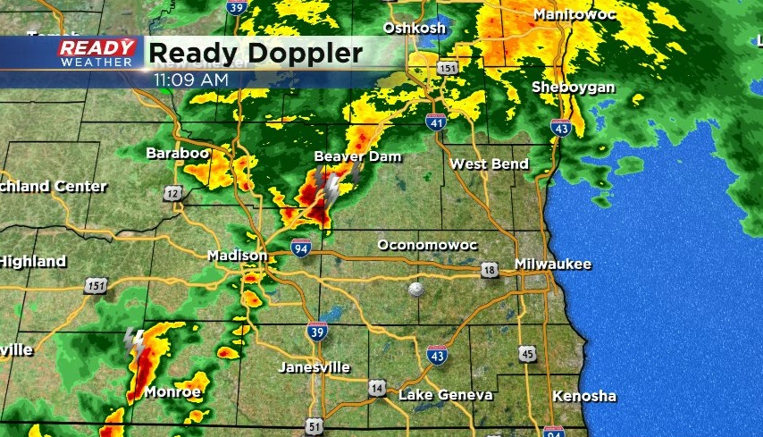
Updated: Wednesday, April 19th 11:05am:
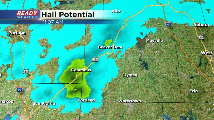
A strong thunderstorm with a history of nickel to quarter sized hail is tracking into Dodge county at 45 mph.
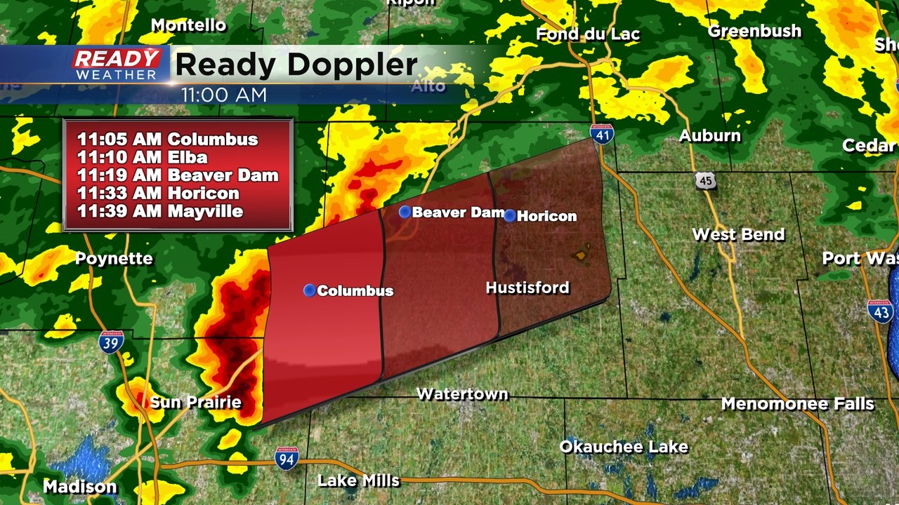
The hail core doesn't look as impressive as it did when it produced the borderline severe hail in Dane county, but still has the potential to produce smaller hail.
Additional thunderstorms are also beginning to develop south of this cell. Any storms will pose a threat for hail and frequent lightning.
----------------------------------------------------------------------------------
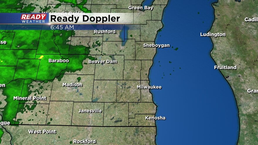
After a beautiful Tuesday it is back to storm chances. A cluster of storms in Minnesota and Iowa has been moving east during the early morning hours closing in on southeast Wisconsin. A few rain showers are possible during the morning commute but the better chance for storms that could be strong is from mid-morning through the early afternoon. A few more scattered showers and storms will be possible Wednesday evening and night.
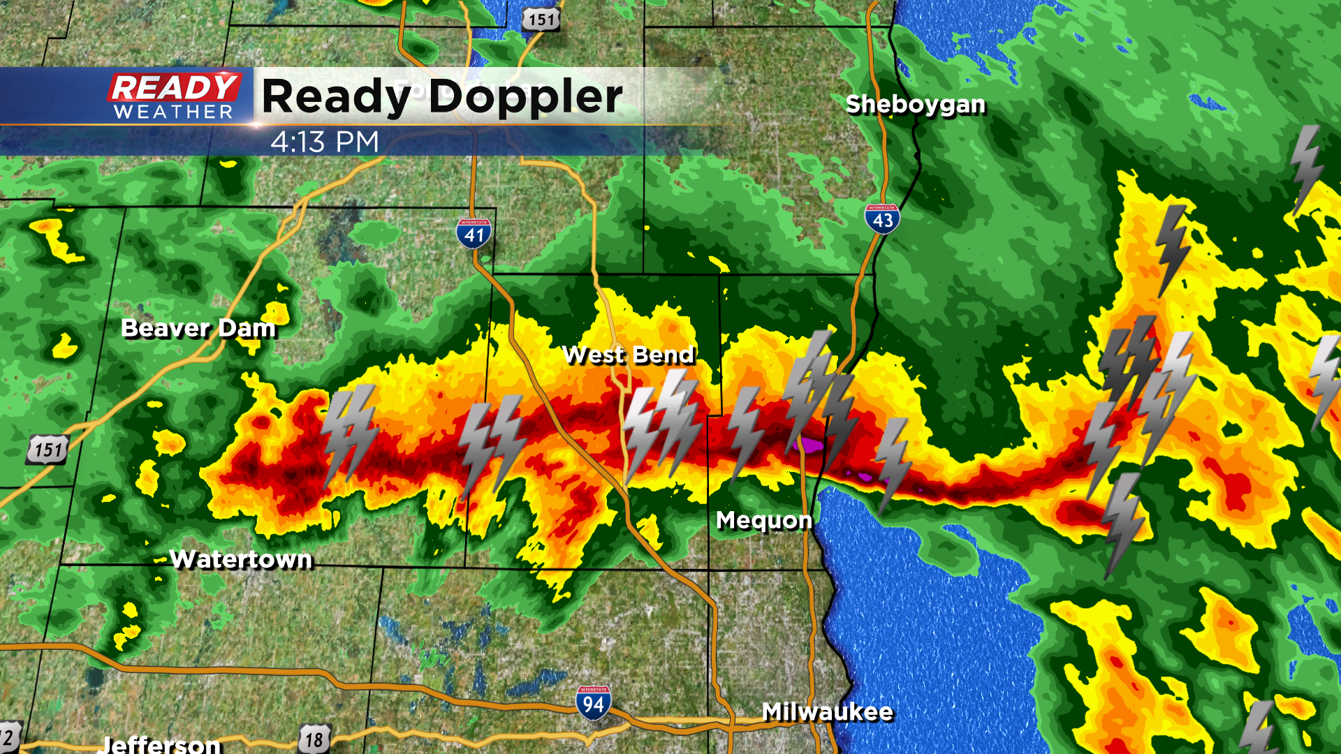
Here's a radar image that will update with time:
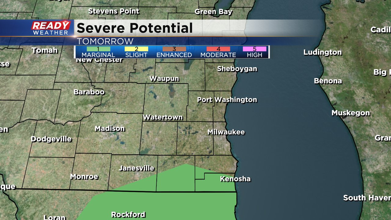
A Level 1 Marginal Risk has been issued for parts or all of Dodge, Jefferson, Waukesha, Walworth, Racine and Kenosha Counties. A few stronger thunderstorms or an isolated severe storm is possible during the mid-morning through early afternoon cluster.

A few rounds of storms will be possible during the day on Thursday. Scattered showers and storms are likely from the morning through the afternoon then wrapping up in the late evening hours.

Once again a few of our counties are under the Level 1 Marginal Risk. Southern counties of Walworth, Racine and Kenosha have the best chance to see a stronger or isolated severe storm.
With any storms that develop on Wednesday and Thursday hail will be the main threat. Some gusty wind and heavy rain is also possible but there is no tornado threat.
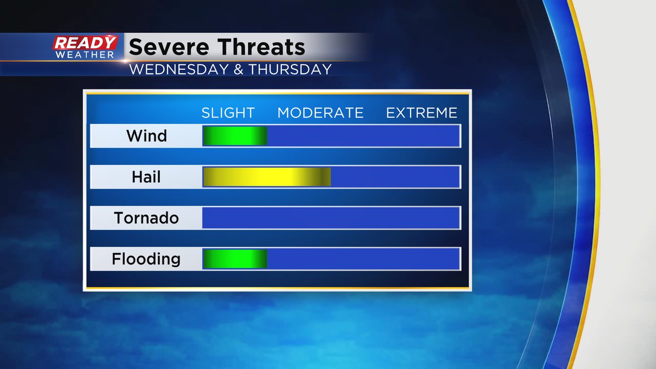
Rain totals for all of Wednesday and Thursday will amount to 0.50-1.00". A nice soaking rain. Most areas should be able to handle that much rain but if too much comes down at once then some ponding on area roadways will be possible.

Download the CBS 58 Ready Weather app to track any storms that develop and get alerts if severe storm warnings are issued.