Afternoon Update: Isolated Showers and storms Friday and again Saturday


Updated: 1:20 p.m. May 20, 2022
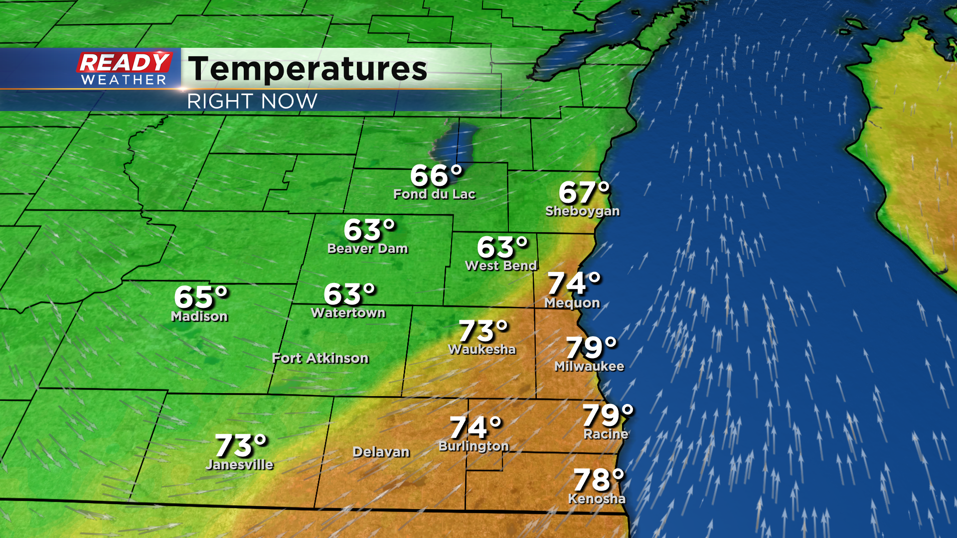
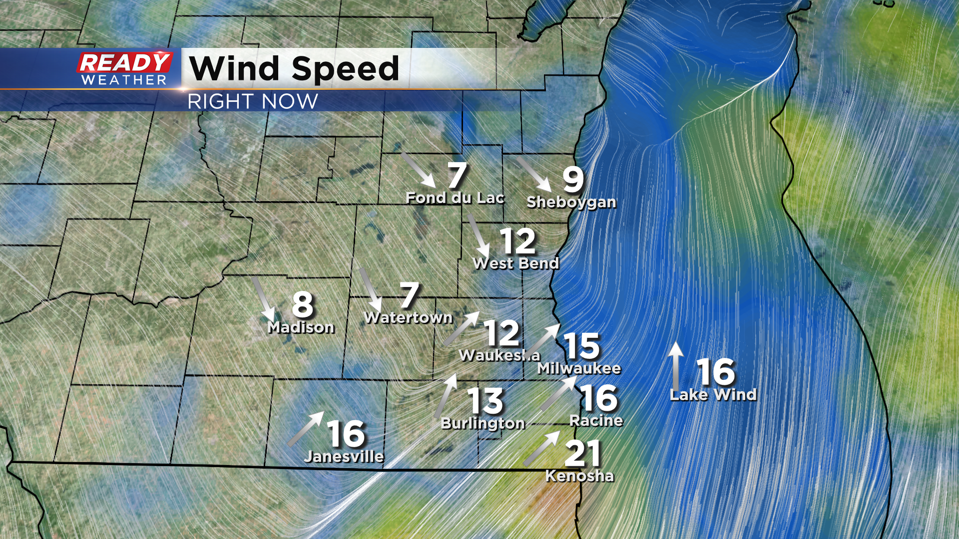
Conditions have been tame so far today, in our part of the state. The cold front responsible for triggering storms is now cutting through our viewing area. Check out how it's affecting temperatures:
-Rebecca Schuld
Updated: 9:08 a.m. May 20, 2022
Southeast Wisconsin has stayed dry so far this morning. The showers and storms we are watching are still off to our west in Minnesota, Iowa and western Wisconsin. Those storms move east today with some local communities seeing a bit of rain by late morning through the afternoon.
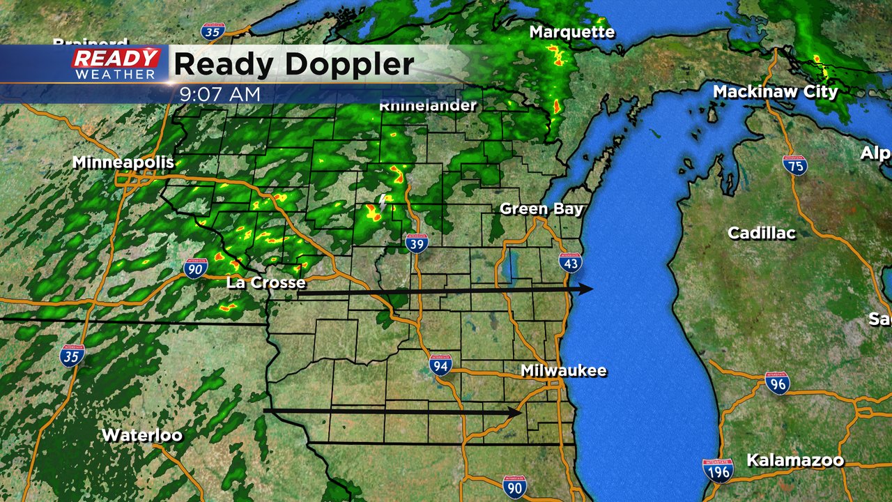
The cold front is currently located just west of Madison. Most of southeast Wisconsin will reach the upper 70s and low 80s today before the cold front arrives. Expect temperatures to drop into the 60s this afternoon and evening behind the front.

------
Posted: 6:22 a.m. May 20, 2022
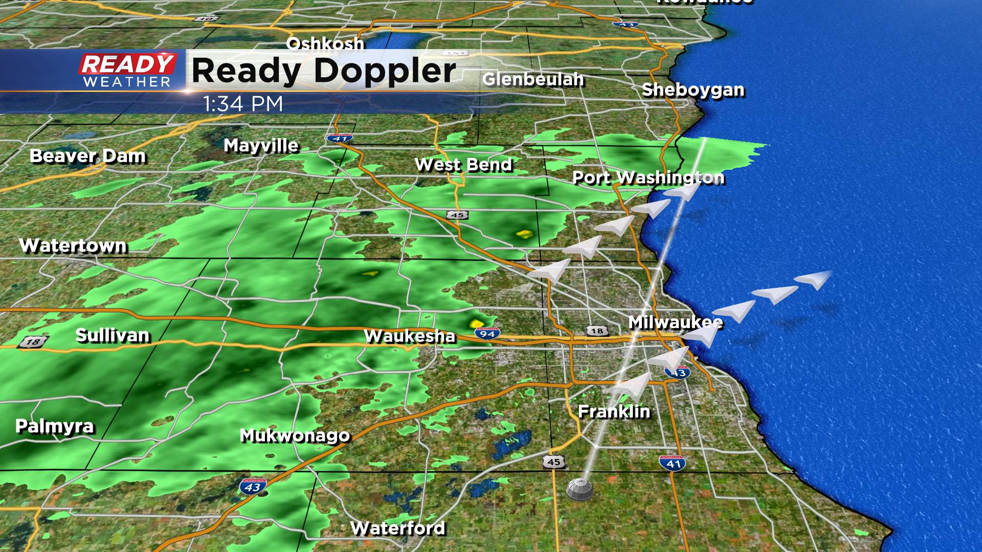
A few of our northern counties saw some strong thunderstorms Thursday night with a few rumbling through Fond du Lac, Sheboygan and Beaver Dam between midnight and 1 AM Friday morning. Since then we have all been dry. The chance for scattered showers and some storms will increase by mid to late morning and then continue through most of the afternoon.
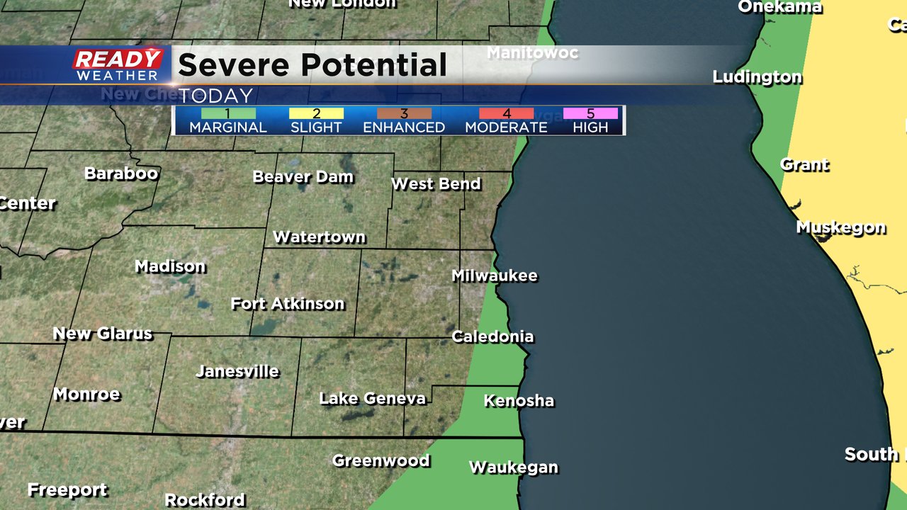
Just a sliver of southeast Wisconsin from southern Milwaukee County into Racine and Kenosha Counties is under the Level 1 Marginal risk for severe weather. Widespread strong storms do not look likely but a few isolated stronger storms are possible Friday morning when the heat and humidity are in full force.
We likely see our high temperatures today centered around midday near 80* before a strong cold front drops us into the 60s for the late afternoon and evening hours.
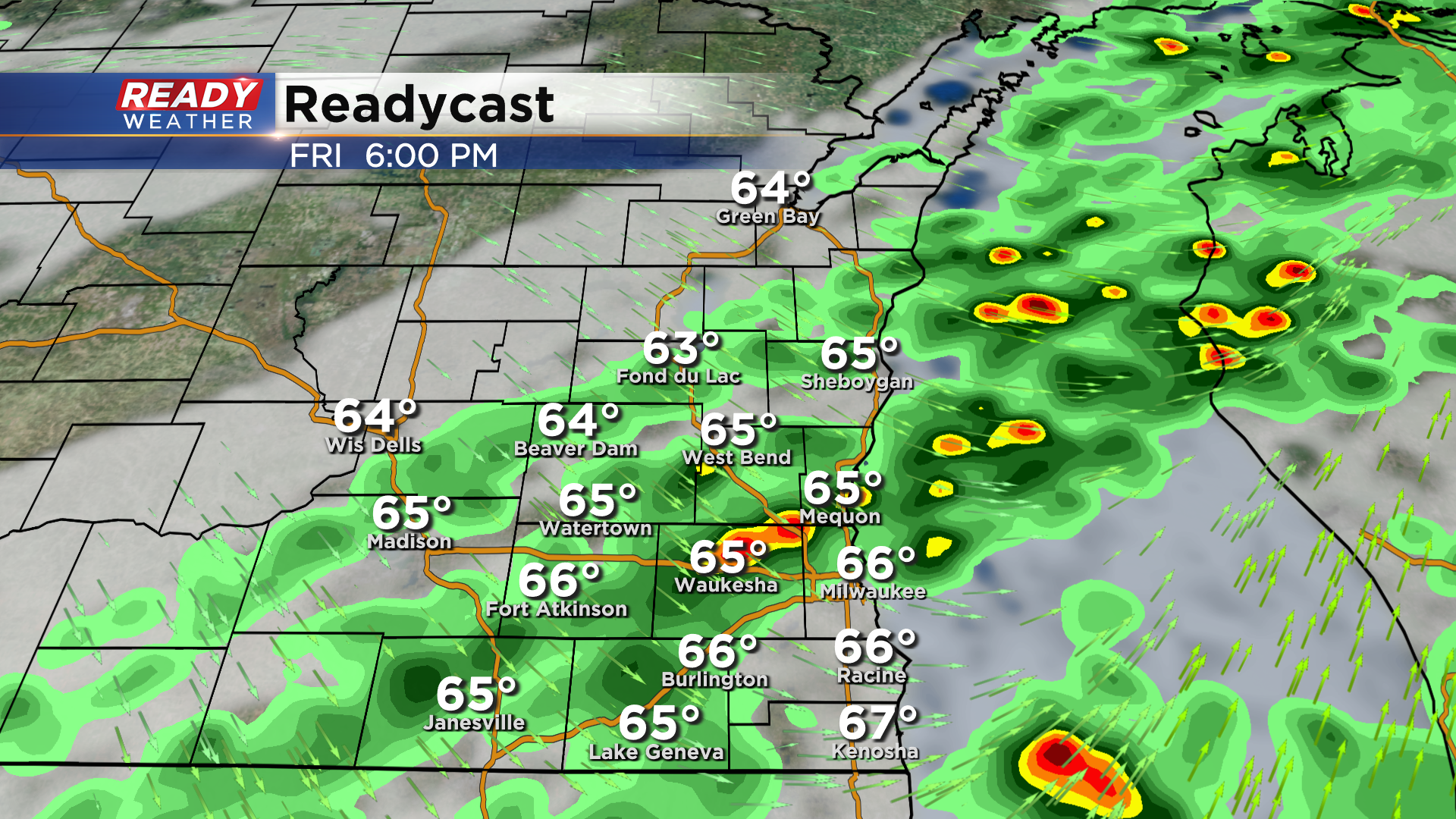
After about 12-18 hours of dry time Friday night and Saturday morning we see another chance for showers by late morning through most of Saturday afternoon and evening. By the time the rain from Friday and Saturday is done some parts of southeast Wisconsin will see close to an inch of rain but most of southeast Wisconsin ends up with 0.25-0.75" of new rain.

Download the CBS 58 Ready Weather app to track the rain and storms.