Freezing fog to light snow will make roads slick Monday


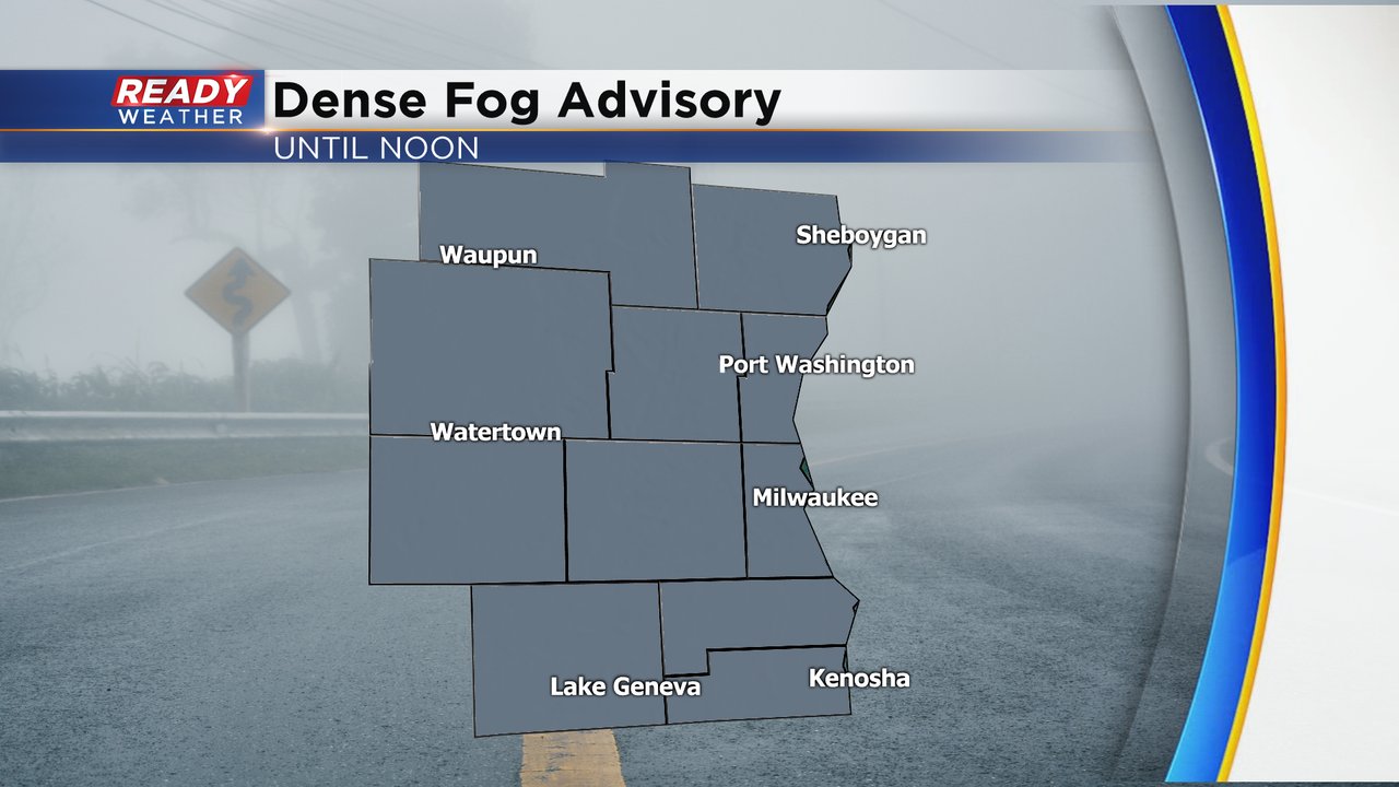
Freezing fog, flurries, drizzle, oh my! Dense fog has once again settled into southeast Wisconsin with visibility at or below a mile at times throughout most of southeast Wisconsin. A dense fog advisory has been issued for all of southeast Wisconsin until noon on Monday. The moisture with the fog combined with temperatures well below freezing has led to freezing fog and lots of slick spots. Sidewalks and side roads will likely be icy Monday morning and main roads will need salting. In addition to the freezing fog, some flurries and drizzle has been reported which could lead to some light accumulation.
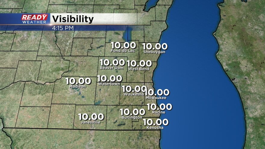
As of 6 a.m. the DOT is reporting some slippery stretches on some of the freeways around Milwaukee. Here's a look at current visibility. This map will update with time and stay current:
Even though the dense fog advisory only goes until noon we will likely still have patchy fog during the afternoon and evening. A front that arrives Monday night will be the thing that pushes out the fog. But that front has the possibility to come with a little bit of snow. Some weather models have the front moving through dry without any snow but others have a narrow area of snow moving through the area. If snow does form it likely starts in our western counties around 7 p.m. and into the Milwaukee and lakeside areas around midnight.
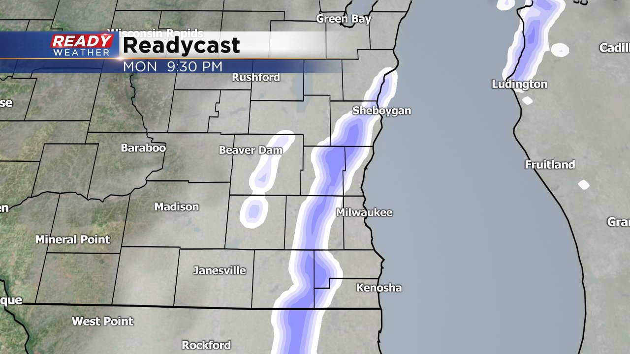
Any snow that does fall should exit the area by 2 a.m. or 3 a.m. Tuesday morning. Very light snow accumulation is possible with a dusting up to a half inch possible.

Download the CBS 58 Ready Weather app to track the snow with the interactive radar.